Research

Research and Acoustic Data Request
The purpose of the BC Hydrophone Network is to enable organizations to build, maintain and contribute to a shared, coast-wide acoustic information system that is available for research, management, stewardship, and educational purposes. This high quality, acoustic database enables the comparison of vessel traffic impact on cetaceans at risk in areas that differ environmentally and acoustically. If you require access this acoustic database for your project from a particular region, or multiple locations, please fill out this data request form and we will pass this on to the appropriate partner for permission.
Our Approach

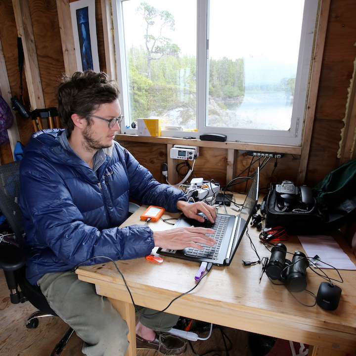
All hydrophones have been calibrated to enable absolute acoustic measurement for ambient noise assessments and vessel impact within the habitat of cetaceans at risk. The real time systems are outfitted with accurate timing clocks (GPS clocks) to allow for array processing of the data which enables researchers to assess whale behavior and document changes in the presence of vessel noise. Network data are transmitted to individual lab locations to be archived and backed up in a secure manner within the Network to provide researchers with a long-term time series for the purpose of monitoring trends spatially and temporally.
Data is processed to provide searchable whale detections, long term spectral averages and spectral probability density plots. This will assist researchers in finding the appropriate data for their research goals within the extensive acoustic dataset generated by the Network. The ability to search acoustic historic archives will enable coast wide research efforts from one platform.
Data products will be developed which show vocalization-based cetacean habitat usage and ocean noise health indices along the BC coast.
The dashboard “SeaStats” on the Interactive Map page displays a set of metrics produced at various locations along the BC coast which demonstrate the cumulative sound exposure levels, each day, for various frequency bands utilized by cetacean species at risk. An easy to interpret combination of habitat usage and noise exposure indices allows an efficient assessment of potential anthropogenic impacts to species at risk within a specified territory for users. Data products show present and historical data to allow visualization of seasonal and yearly changes detected by the hydrophone network.
Website based charts have been produced describing the habitat and noise exposure levels for cetaceans along the BC coast. The charts contain both current and historical habitat use and noise levels, and are available to territorial stewards including First Nations, Ports, Transport Canada, DFO, researchers and environmental organizations.

